 There are many interesting and useful maps available at the S.E. Wimberly Library. The Government Documents Department facilitates access to numerous map collections which are housed on First Floor East. These maps can be checked out with your Owl Card at the Documents Office (LY 109) or Reference Desk.
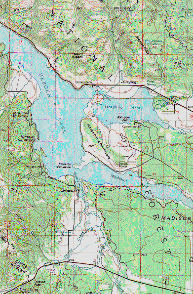
To discover the collections, take a look at the descriptions of Map Resources on the Government Resources web site. Among the multitudes of maps are USGS topographic maps, world political maps, National Geographic maps, National Park maps, and geologic maps. There are also detailed Census Bureau maps of Palm Beach, Broward, and Dade counties.
One of our newest collections contains International Travel Maps. Here you’ll find maps of most of the world’s nations, along with regional and notable city maps (Paris, London, Barcelona, and Rome to name a few). Also, maps of U.S. states and many Caribbean islands are available.
Looking for digital maps? Florida’s PALMM Project features the World Map Collections which includes extensive Florida historical, aerial, and Sanborn Fire Insurance maps. Browse other digital map collections on the GODART Maps & Geography links page.


